Tag: Topography Map Mercer County

1913 Topography Map: Hopewell & Union Townships

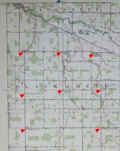
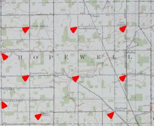
Below are two more Mercer County townships, Hopewell and Union, from the 1913 Topographic Map of northern Mercer County. I featured Black Creek, Liberty, and Dublin Townships from this map a couple weeks ago. Apparently I have just a portion of a map. The sheet I have includes northern Mercer County, with the eastern portion …

Continue reading

1913 Topography Map of Northern Mercer County

I hope everyone had a nice holiday season. We certainly did and things are pretty much back to normal here. This winter seems more like the winters we used to have, colder with more snow, making it the perfect time to work indoors on some genealogy projects. As I mentioned late last year, I still …

Continue reading