The past four years the Willshire Home Furnishings store has been transformed into a military memorial to honor local veterans, past and present, for the Memorial Day weekend. This “Memorial Day Celebration” is the idea of store owner Aleta Weiss.
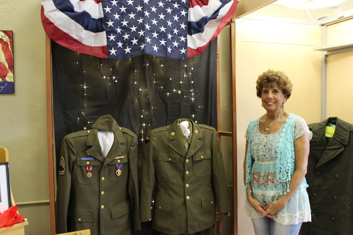
Aleta Weiss by one of the displays. (2015 photo by Karen)
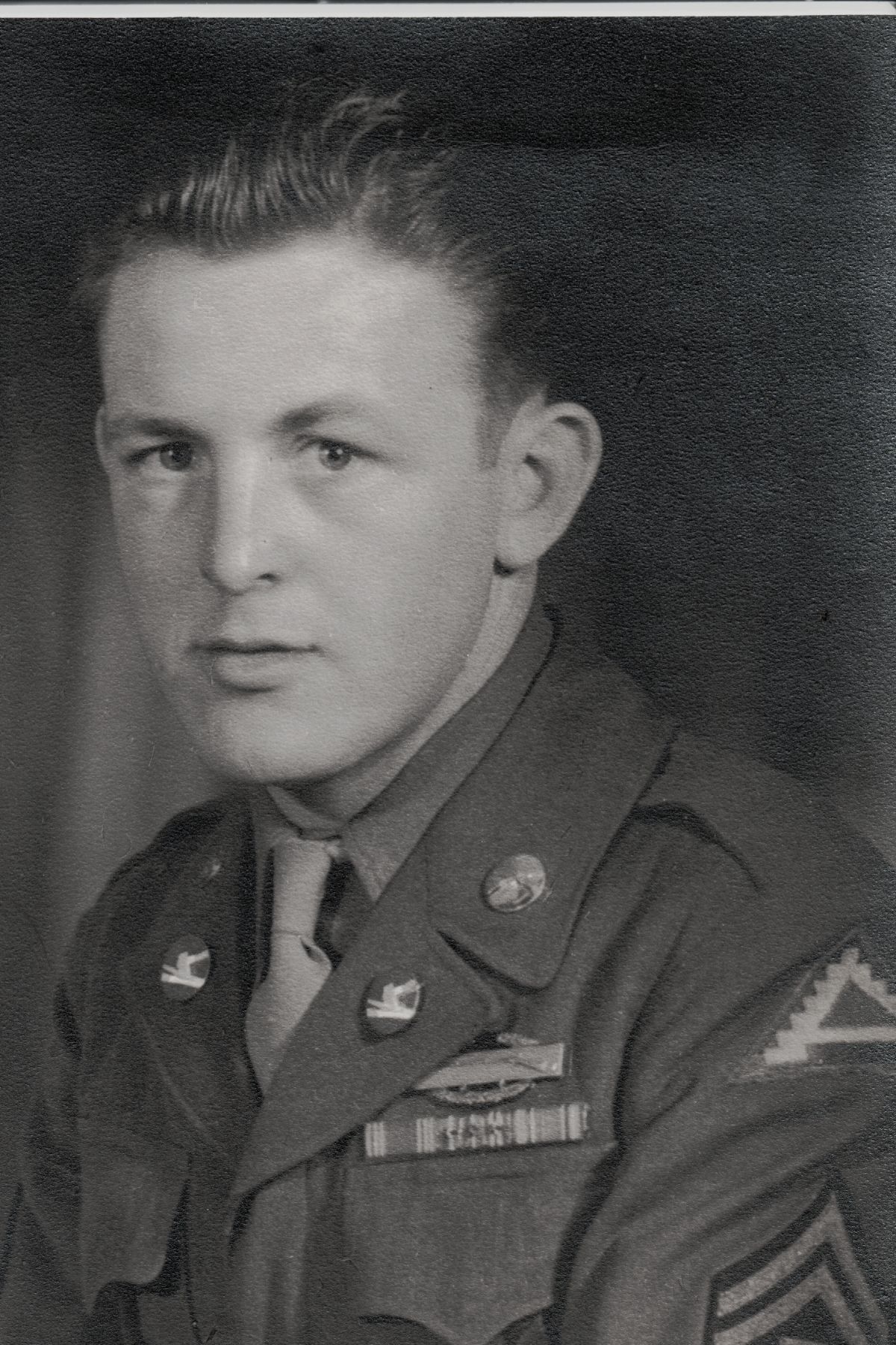
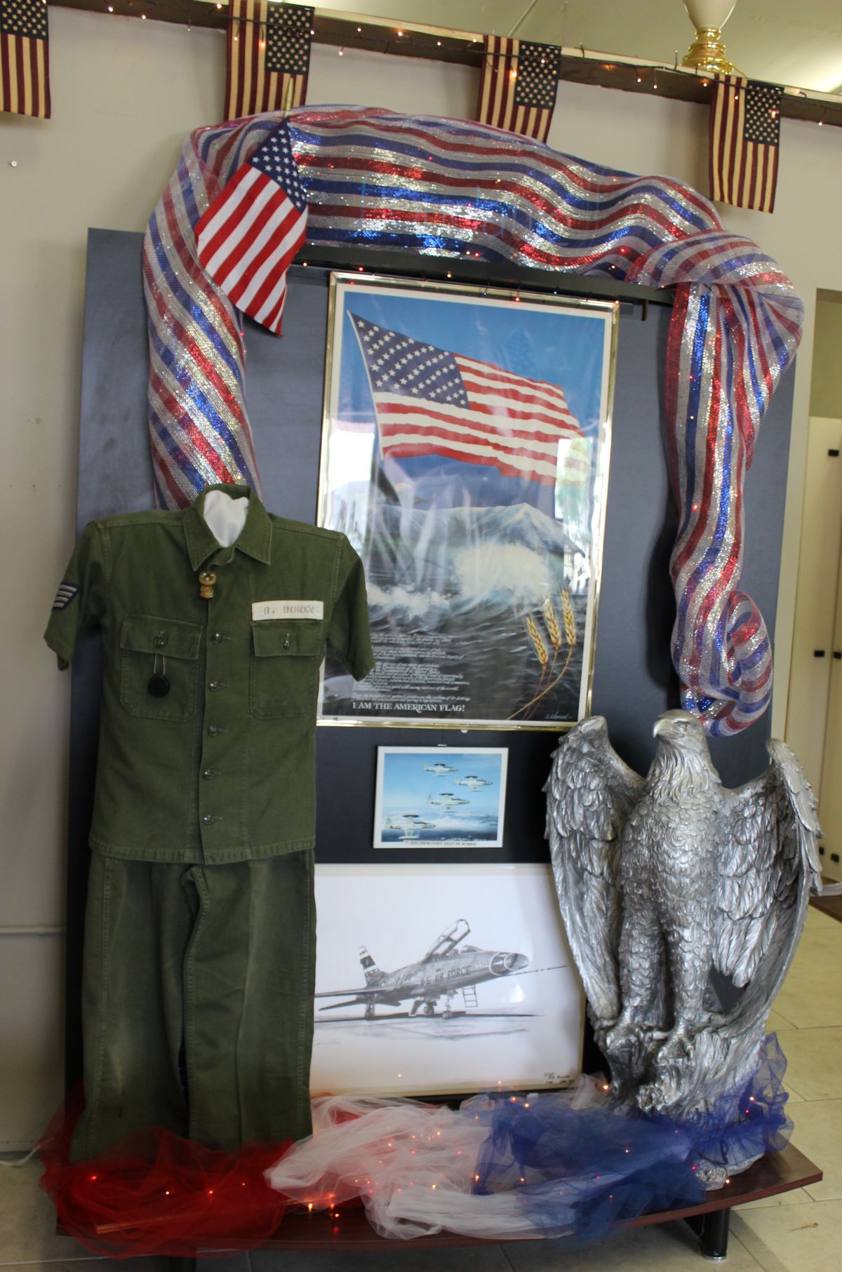
Back in 2012 Aleta wanted to do something in memory of her father, to pay tribute to his military service. Delmore Mitch was a staff sergeant in the 106th Infantry, the Golden Lions. He served as a cartographer, a map-maker, in the 654th Engineer Topographic Battalion during WWII.
![Display of Delmore Mitch [Aleta's father] WWII items, including maps. (2015 photo by Karen)](https://karenmillerbennett.com/wp-content/uploads/2015/05/Memorial-Day-Celebration-2015-5.jpg)
Display of Delmore Mitch’s WWII items, including maps he drew. Mitch was Aleta’s father. (2015 photo by Karen)
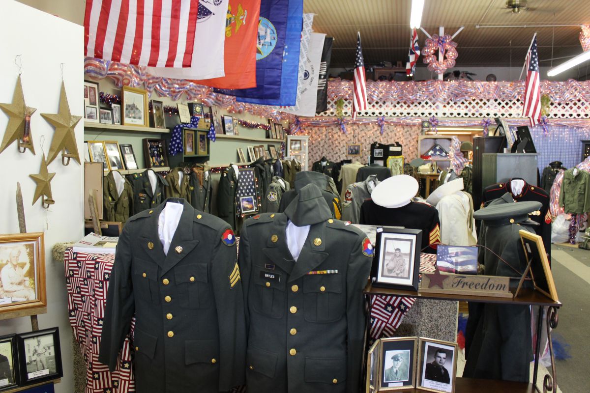
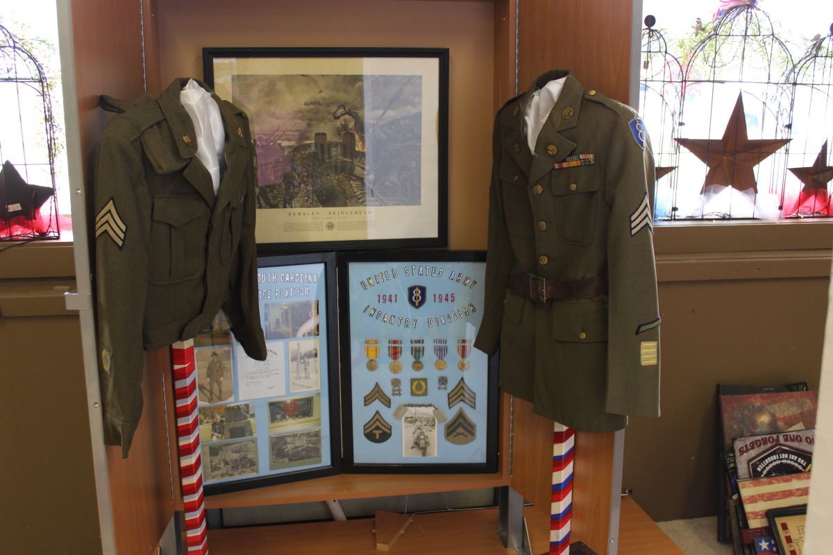
The second year local residents added to the exhibit by contributing 57 uniforms. By 2014 there were 103 uniforms of local servicemen on display.
And the display continues to grow. There will be at least 120 uniforms on display this year, furnished by at least 100 people, from as far away as Roanoke and Fort Wayne, Indiana.
Uniforms, photos, and other items on display at Willshire Home Furnishings this weekend. (2015 photo by Karen)
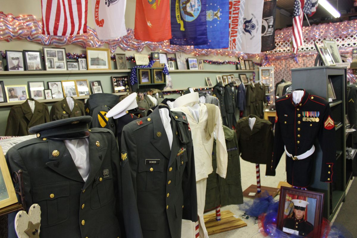
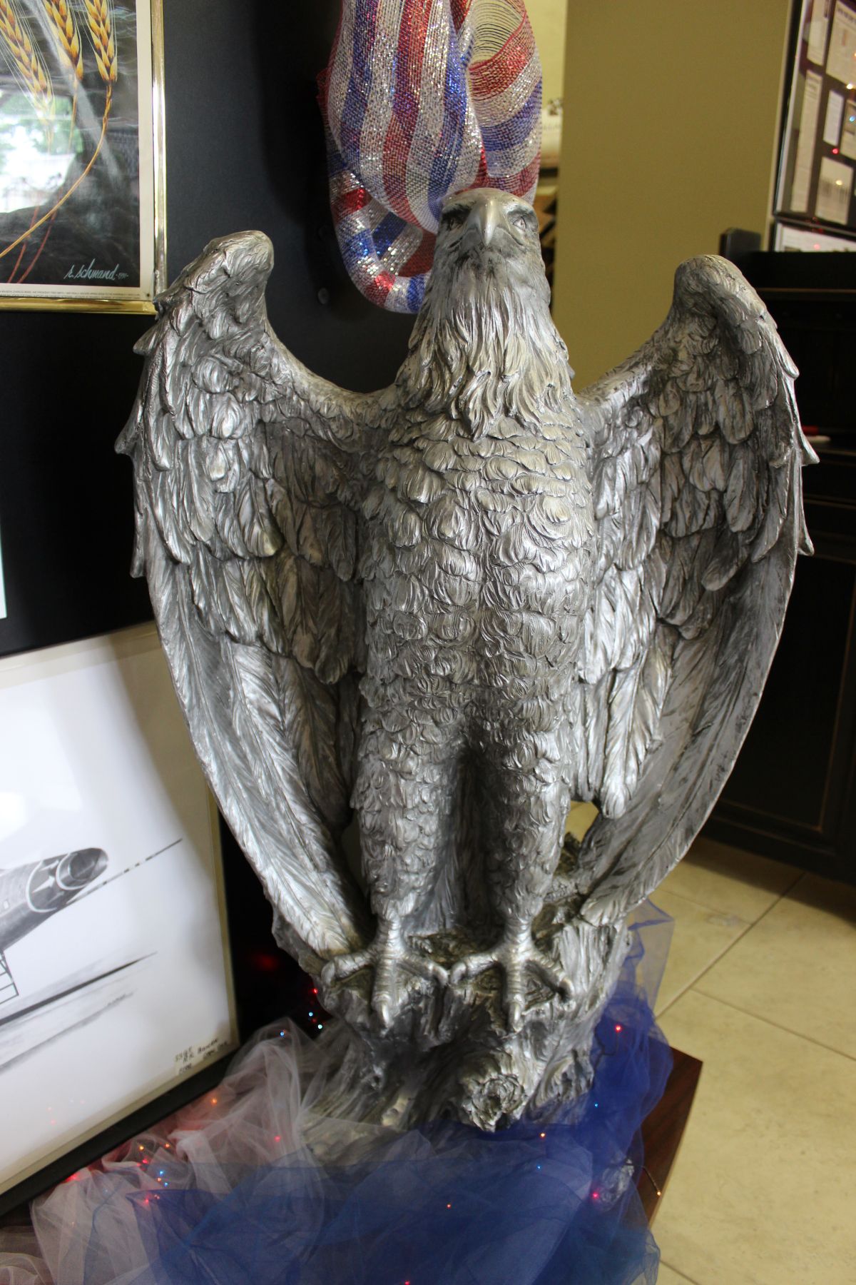
Vast array of military items on display at Willshire Home Furnishings. (2015 photo by Karen)
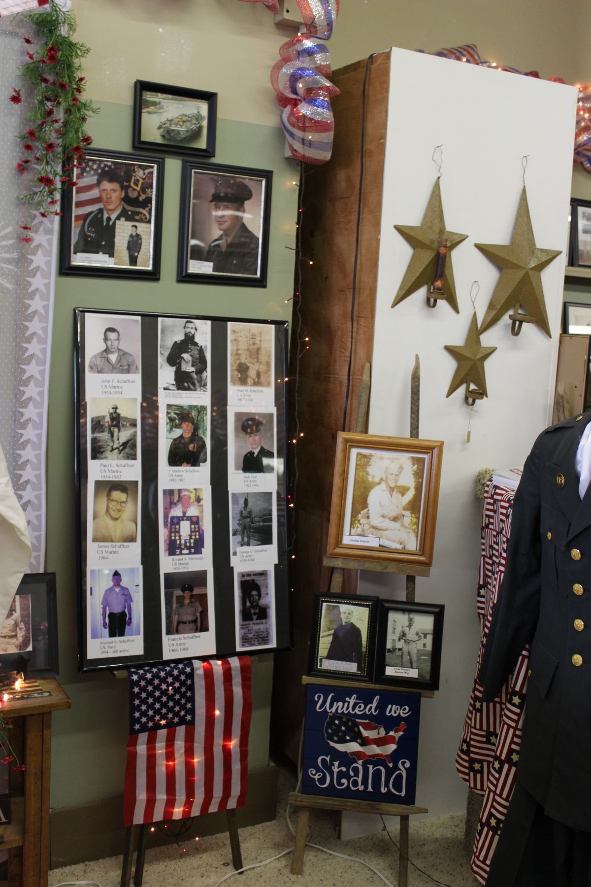
But military uniforms are not the only items to view there. Other items include photos, documents, letters, memorials, maps, flags, medals, ribbons, and other military memorabilia from most major U.S. wars and conflicts.
Aleta and her family go to a lot of effort to arrange specific displays and tributes to the veterans of several wars. This year there are items from WWI, WWII, Korea, Viet Nam, Desert Storm, Afghanistan, and Iraq wars.
On display this weekend at Willshire Home Furnishings. (2015 photo by Karen)
Aleta begins accepting items for display the first week of April and by the third week of April she starts moving her array of home decorating items from the main showroom into a back portion of the store. In their place she arranges all the veterans’ articles.
This weekend at Willshire Home Furnishings. (2015 photo by Karen)
Some new items for this year’s display include a traveling military vehicle exhibit from the WWII Museum in Auburn, Indiana. Vehicles will include a military Jeep and “Rolling Thunder,” a gunner truck that was used in Viet Nam. Pat Miller from WOWO radio will be there one day and there will be a bottle of sand from Normandy Beach.
A lot of people visit the tribute over Memorial Day weekend. Aleta estimates that between 800-900 people came to view her display last year.

Memorial Day Celebration at Willshire Home Furnishings. (2015 photo by Karen)
This year’s “Memorial Day Celebration” at Willshire Home Furnishings will be open to the public Saturday, Sunday, and Monday, May 23, 24, and 25, from 9:00 a.m. to 6:00 p.m. Friday the 22nd is not open to the general public, but is open for residents of nursing homes and assisted living facilities. At least 11 nursing homes will bring residents to the store on Friday.
We stopped by the store last Tuesday and were amazed at the number of uniforms, photos, and other items on display. The store has been totally transformed and it is awesome and humbling to look at all the items and to think of all the sacrifices that were made. Aleta does a great job to redecorate the store for this patriotic exhibit. The store is truly transformed and she puts a lot of time and effort to create this tribute to our veterans.
One of the many displays at Willshire Home Furnishings this weekend. (2015 photo by Karen)
In addition to organizing this wonderful tribute, Aleta is on the board of the Northeast Indiana Honor Flight, a non-profit organization that flies veterans to Washington DC so they can visit memorials built to honor their service. She started out as a flight guardian before becoming more active in the group. She now accompanies nearly every flight as well as to help with flight preparations and paperwork.
I encourage you to stop by her store this weekend if you can. Willshire Home Furnishings is located at 318 State St., Willshire, Ohio. The store is not open for business during the time of the Memorial Day observance.
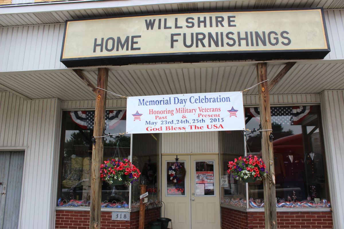
Willshire Home Furnishings. (2015 photo by Karen)
Willshire’s Memorial Day Parade will start about 9:30 a.m. on Monday and Aleta Weiss will speak at the Willshire Cemetery.
We owe each one of our veterans so much and we should always remember the sacrifices they made, and still make, for our freedom.
Willshire Home Furnishings this Memorial Day weekend. (2015 photo by Karen)
Thank you Aleta for honoring our veterans in such a special way. I can tell it is a labor of love.